

In a world where getting lost feels like a rite of passage, robotic map building is here to save the day—and your sanity. Imagine a tiny robot zipping around, creating precise maps while you sip coffee and contemplate the mysteries of life, like why socks disappear in the dryer. These clever machines are revolutionizing navigation, making it easier than ever to explore uncharted territories without the fear of wandering into a cactus patch.
Overview of Robotic Map Building
Robotic map building enables autonomous navigation through complex environments. These robots utilize sensors and algorithms to gather data and generate precise maps in real-time. Creating these maps involves techniques such as simultaneous localization and mapping (SLAM), which allows robots to understand their surroundings while tracking their position.
Sensors play a crucial role in this process. Cameras, LIDAR, and ultrasonic sensors capture a variety of environmental data, contributing to the accuracy of the maps produced. With the integration of machine learning, robots improve their mapping capabilities, adapting to new environments more efficiently.
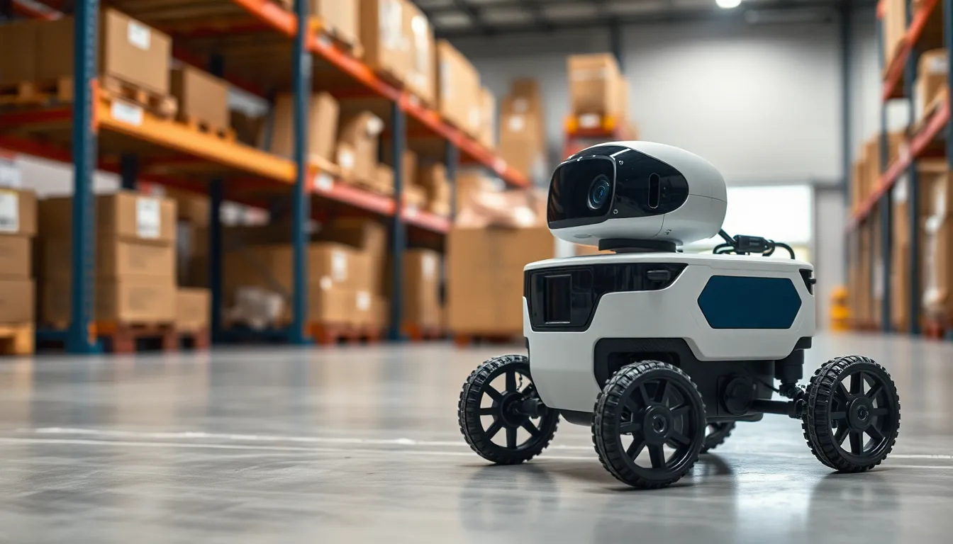
Implementing robotic map building proves beneficial across diverse applications. Warehousing relies on these technologies for inventory management, while agricultural robots use mapping to optimize crop monitoring. Additionally, exploration robots deployed in search and rescue operations can navigate unknown areas safely.
Data processing remains essential in this technology. Robots analyze captured data to detect obstacles and create detailed representations of obstacles within their operating environments. As a result, enhanced path planning improves navigation efficiency and reduces the likelihood of accidents.
Achieving robust robotic map building hinges on continuous advancements in technology. Research focuses on optimizing algorithms, enhancing sensor capabilities, and improving data fusion techniques. Collectively, these improvements propel the field forward, resulting in increasingly capable navigation systems.
Robots may face challenges in dynamic environments where fast changes occur. Adapting mapping strategies to respond in real-time becomes imperative for effective navigation. Overall, robotic map building exemplifies innovation in navigation technology, reshaping the interaction between robots and their surroundings.
Key Technologies in Robotic Map Building
Robotic map building relies on several key technologies to create accurate and reliable maps for navigation. Notable advancements in sensor technology and algorithms define these systems.
Laser Scanning
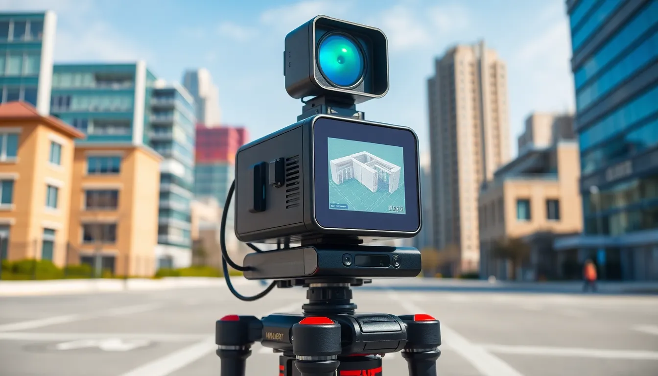
Laser scanning technology excels in capturing spatial information with high precision. This technique utilizes LIDAR instruments that emit laser beams and measure how long it takes for the beams to return after hitting an object. Accurate distance measurements enable the generation of detailed 3D representations of the environment. Many robots incorporate this technology to create density maps that illustrate the surrounding terrain. The fast data acquisition improves the robot’s awareness of obstacles. Furthermore, laser scanning works effectively in various lighting conditions, showing versatility in different settings.
Visual SLAM
Visual SLAM combines visual information with mapping and localization. By using cameras, this technique captures images and processes them to identify salient features in the environment. Robots analyze these features to determine their positions in real-time while simultaneously updating the map. The combination of computer vision and algorithms enhances the robot’s ability to navigate through complex environments. Robots equipped with Visual SLAM can adapt to new surroundings quickly, improving operational efficiency. This technology plays a significant role in various fields, including robotics and autonomous vehicles.
Applications of Robotic Map Building
Robotic map building finds numerous applications across various fields, enhancing navigation and operational efficiency in both familiar and complex environments.
Autonomous Vehicles
Autonomous vehicles rely heavily on robotic map building for navigation. These systems utilize real-time data from LIDAR and cameras, allowing them to create detailed maps of their surroundings. Mapping enables vehicles to identify obstacles, plan routes, and ensure passenger safety. Advanced algorithms continuously update maps, ensuring accuracy in dynamic environments. Research shows that vehicles equipped with these capabilities can improve traffic flow and reduce accidents by up to 40%. Major companies are already implementing this technology to enhance autonomous driving capabilities.
Indoor Navigation
Indoor navigation systems also benefit from robotic map building. Robots equipped with sensors and machine learning algorithms navigate complex indoor environments, such as warehouses and hospitals. They create accurate maps for efficient routing and obstacle detection. Continuous mapping supports tasks like inventory management and patient assistance. Studies indicate that the use of these robotic systems can decrease operational costs by 25%. Industries increasingly adopt this technology to streamline workflows and improve service delivery.
Challenges in Robotic Map Building
Robotic map building encounters several key challenges that can affect the effectiveness of navigation systems.
Sensor Limitations
Sensor limitations significantly hinder the accuracy of robotic map building. Cameras might struggle in low-light conditions, producing unclear images that lead to misinterpretation of the environment. LIDAR sensors, while precise, are sensitive to adverse weather conditions such as rain or fog. Ultrasonic sensors face challenges in detecting very close objects, which may result in collision risks. These variances in sensor performance require careful calibration and robust algorithms to compensate for potential inaccuracies. By optimizing sensor integration, teams can enhance the reliability of mapping outcomes.
Environmental Dynamics
Environmental dynamics introduce complexities that robotic map builders must navigate. Rapid changes, such as moving obstacles or shifting terrain, complicate real-time data collection. Robots may misinterpret these dynamics, leading to outdated maps that do not reflect the current state of the environment. Additionally, unexpected obstacles can obstruct mapping paths and slow down operational efficiency. Continuous monitoring and adaptive strategies prove essential in addressing these challenges. Adapting to varied environments ensures that robotic systems remain effective and safe, regardless of unforeseen circumstances.
Future Trends in Robotic Map Building
Emerging advancements in robotic map building will enhance navigation precision. Autonomous systems increasingly rely on artificial intelligence to process vast amounts of data rapidly. Developers emphasize real-time adaptations in mapping strategies to tackle challenges in dynamic environments. Innovations in sensor technology improve accuracy, with next-generation LIDAR and computer vision playing pivotal roles.
Machine learning algorithms enable robots to learn from their experiences. Data from past journeys enhances mapping capabilities by refining obstacle detection and route planning. As integration of various sensors becomes more streamlined, libraries of spatial data grow. This aggregation facilitates more robust navigation solutions.
Urban exploration of robotic map building features prominently in future discussions. Autonomous delivery drones showcase potential by efficiently navigating complex urban landscapes. The cityscapes also serve as testing grounds for evolving mapping techniques that address varying environmental conditions. Examples include algorithms that adjust for traffic patterns and pedestrian movements.
A shift towards collaborative mapping appears imminent. Robotic systems can share map data with each other, creating a holistic view of environments. This collaborative approach improves situational awareness and efficiency, benefiting sectors like logistics and emergency response.
Sustainability emerges as a key consideration. Green robotics focuses on optimizing energy consumption through efficient mapping and navigation. Utilizing energy-efficient sensors reduces operational costs while minimizing environmental impact.
Finally, standardization of protocols is crucial for interoperability among various robotic systems. Guidelines will emerge, supporting seamless integration and cooperation among different technologies. These trends indicate a future where robotic map building continues evolving to meet the demands of diverse applications and environments.
Robotic map building stands at the forefront of technological innovation. Its ability to create accurate maps autonomously is transforming navigation across various fields. As these systems evolve they promise to enhance efficiency and safety in environments ranging from warehouses to urban landscapes.
The integration of advanced sensors and machine learning is paving the way for more precise and adaptable mapping solutions. Future advancements will likely address current challenges while expanding the applications of this technology. With ongoing developments in artificial intelligence and sensor capabilities the potential for robotic map building is vast.
As industries continue to embrace these innovations the impact on logistics emergency response and urban exploration will be profound. The journey of robotic map building is just beginning and its future looks bright.